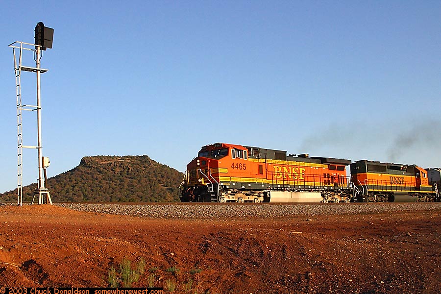
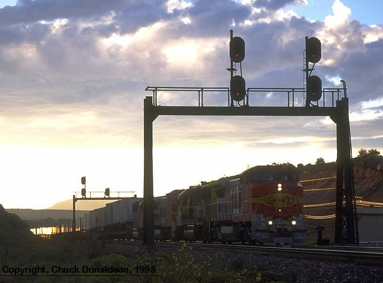
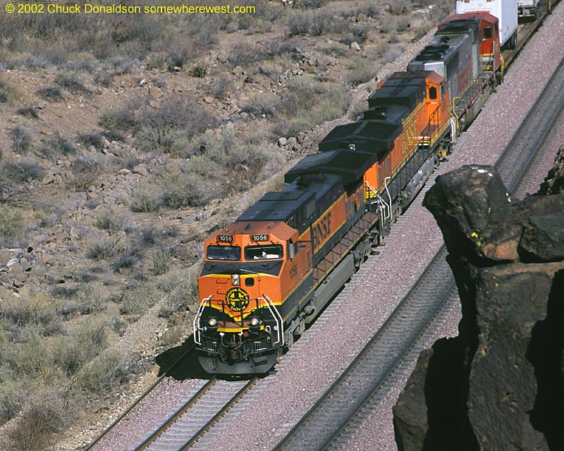
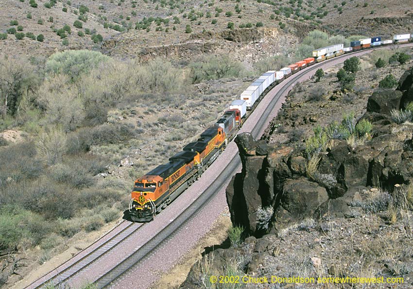
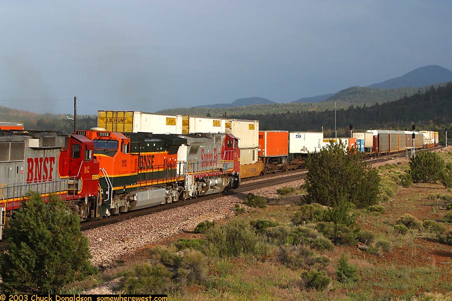
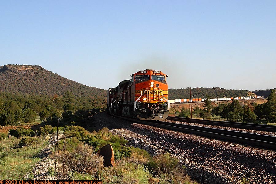
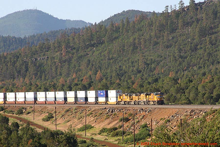
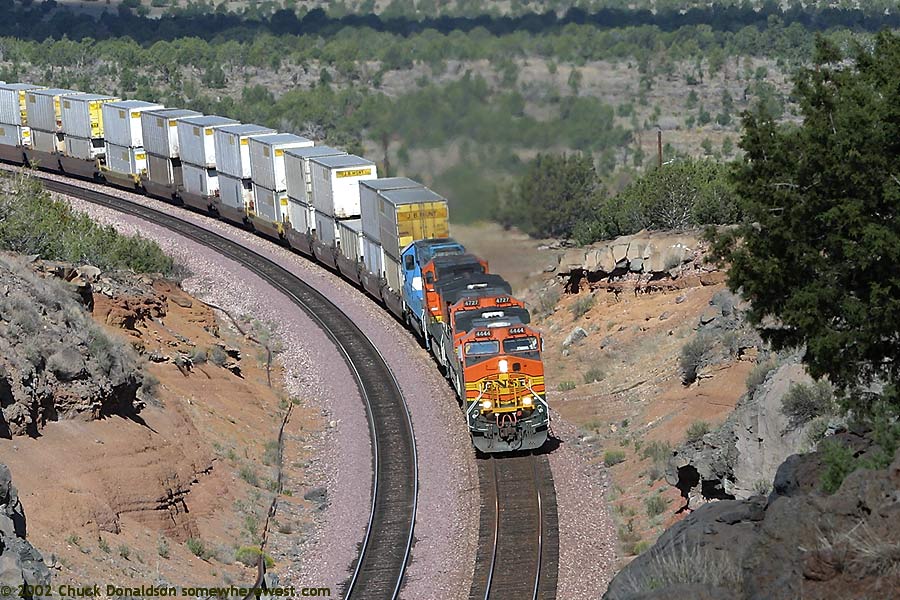
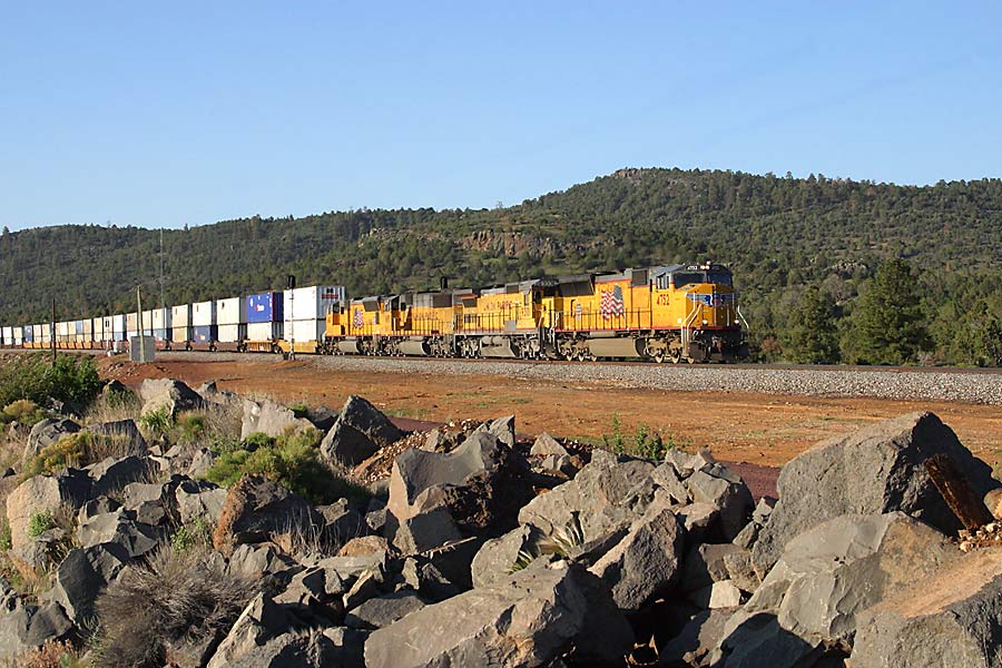
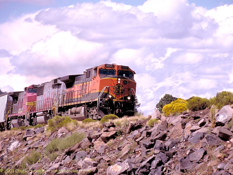
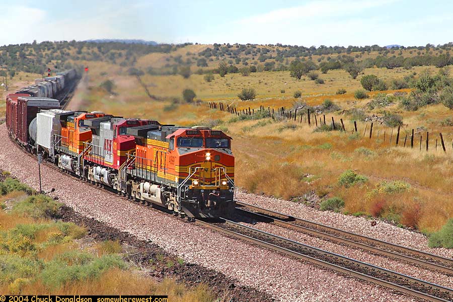
Between Crookton and Eagle Nest
 |
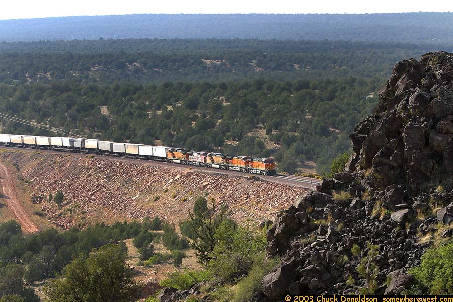
The Crookton realignment took the Santa Fe off a steep alignment through Ash Fork and moved it North to ramp up to Williams on an easier grade. In October 2002, I had a chance to go back and drive the entire route from Seligman to Williams. Over the next few months, I'll add photos from that trip. |
 |
|
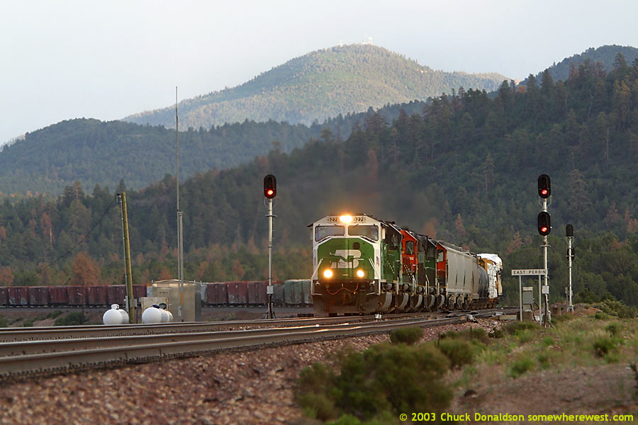
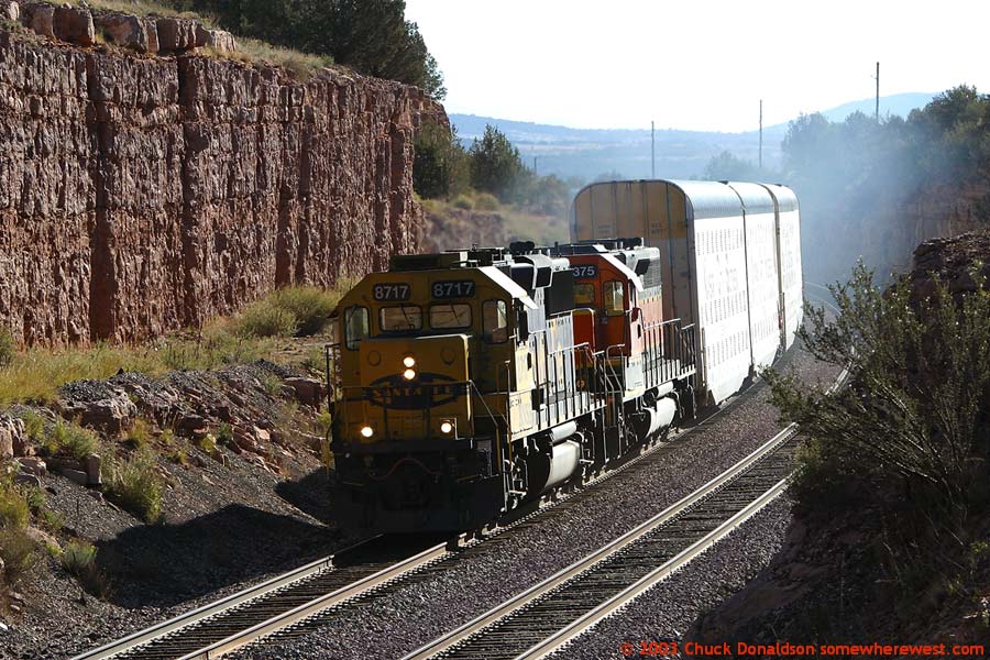
East Perrin |
 |
|
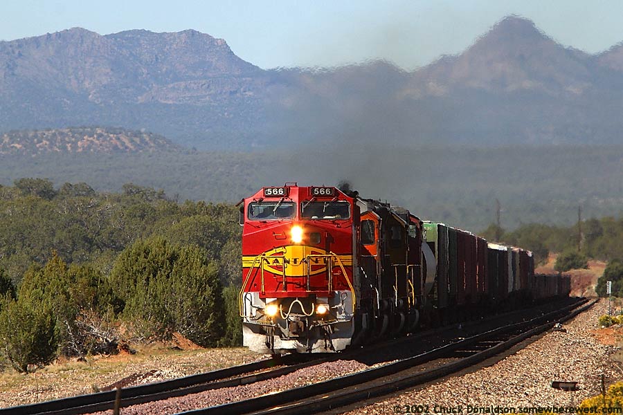
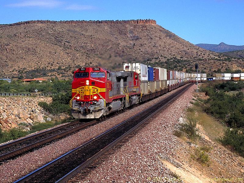
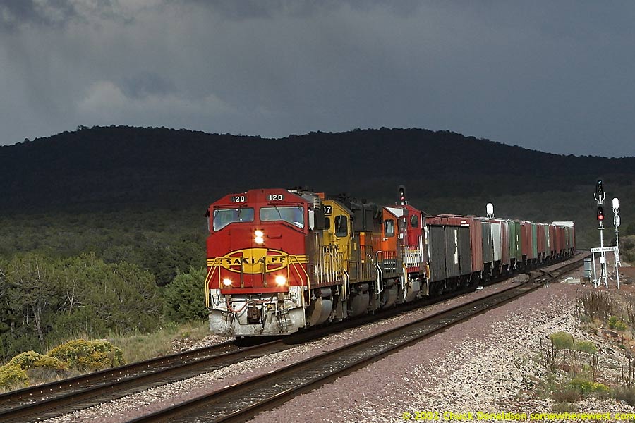
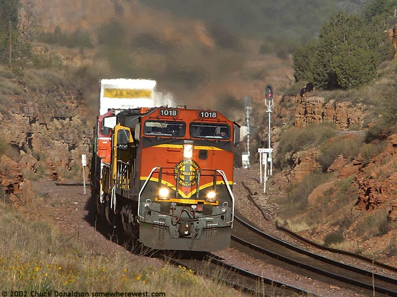
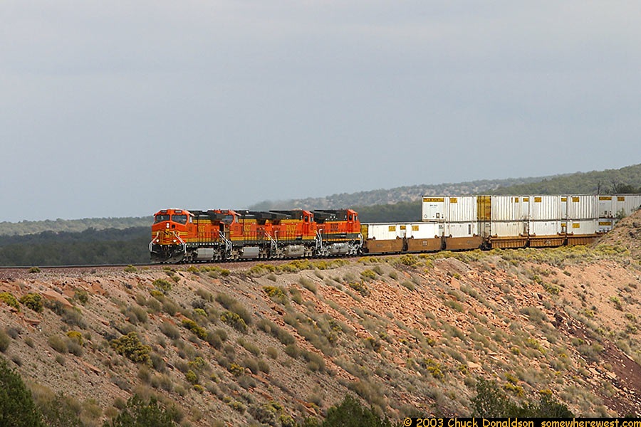
East of East Eagle Nest
|
 |
 |
||
 |
 |
||
 |
 |
||
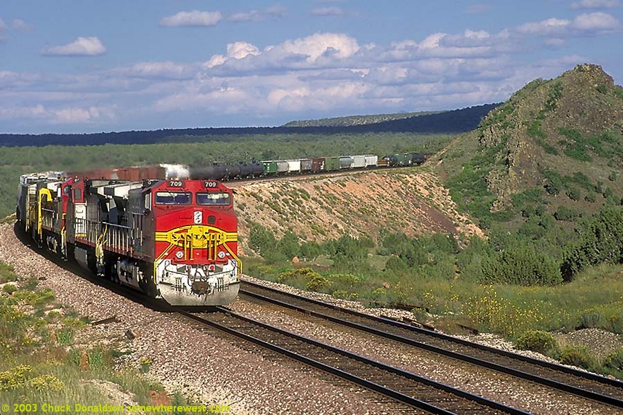
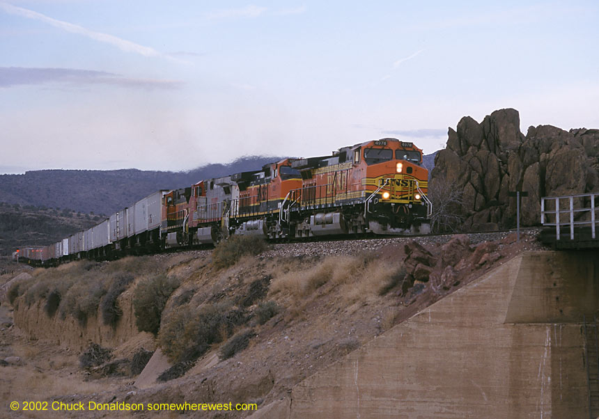
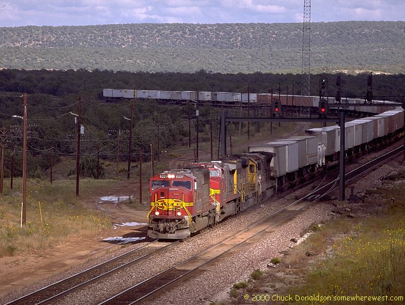
West DoubleA |
 East DoubleA
|
 |
|
 |
 |
||
 |
 |
||
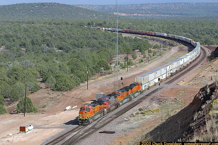 |
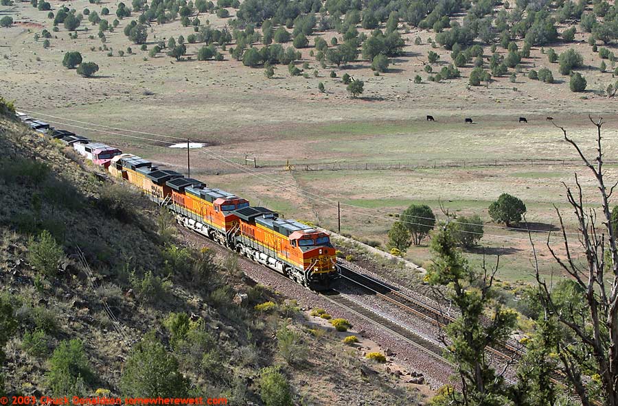
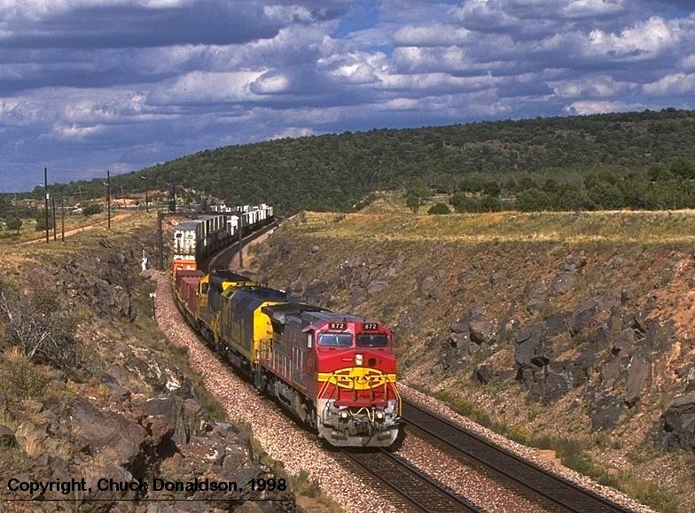
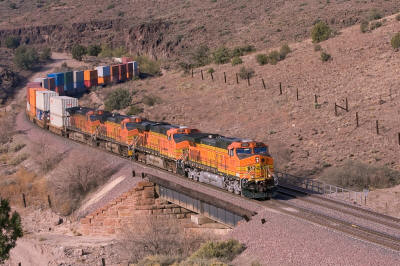
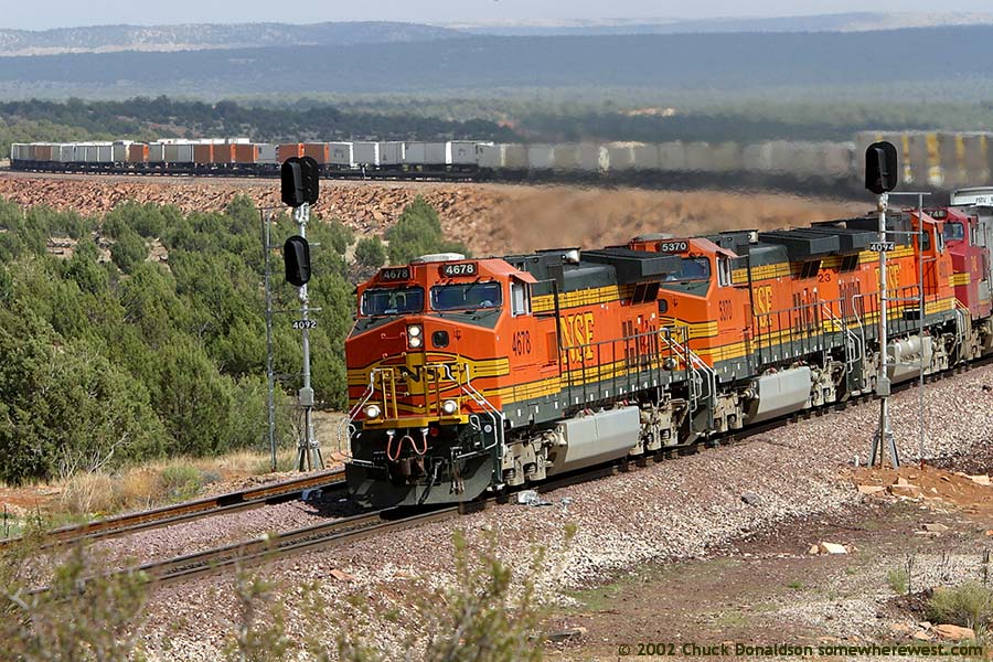
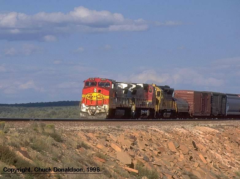
Eagle Nest |
|
|
|
|
|
 |
|
|
|
 |
||
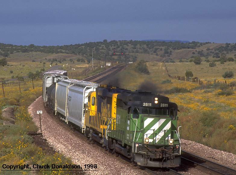 |
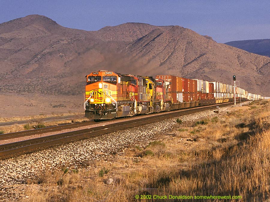
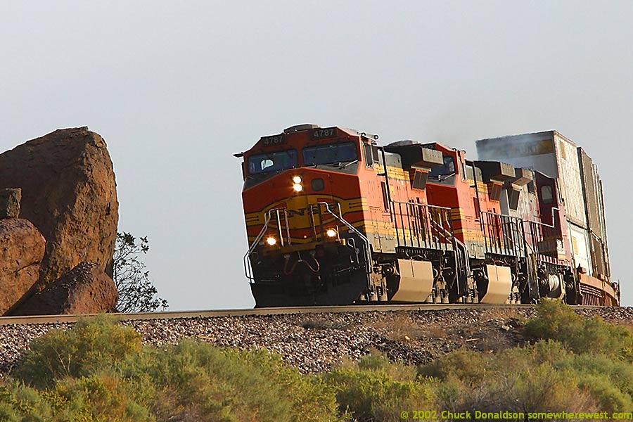
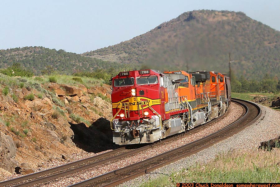
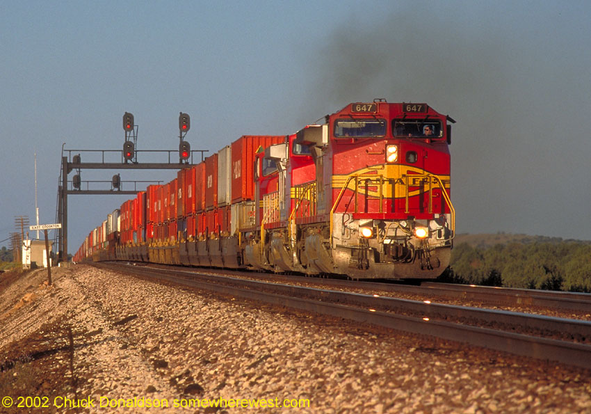
Crookton What are the chances that the Seligman Local would have a GP 30 from each of the BNSF's founding roads? Sept. 1997. On the right, Santa Fe 647 at East Crookton
|
 |
|
 |
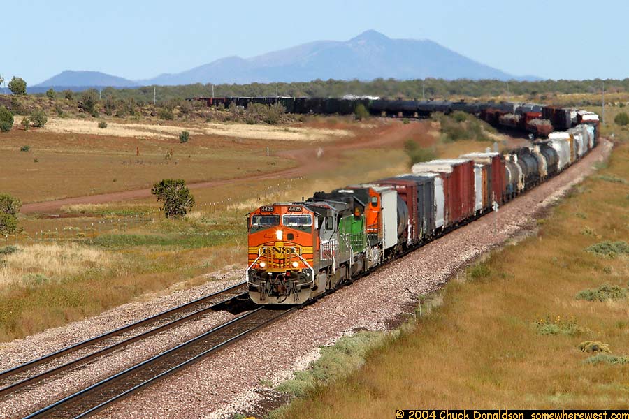
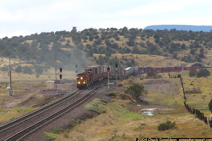
Summer 2004 the signal bridges are gone, but the action continues |
 |
|
 |
|
||